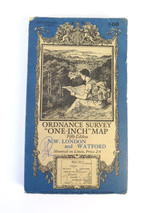
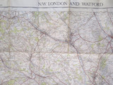
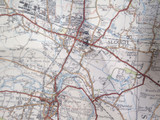
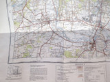
1930s "One Inch" Map, Ordnance Survey of NW London and Watford #106

$45
Gift wrapping:
Options available
Shipping:
$10 (Fixed Shipping Cost)
Current stock: 0
Description

Description

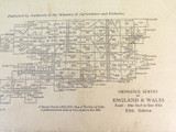
One inch to one mile ordnance map of NW London and Watford in a series of England & Wales Maps

The OS one-inch series, which the OS Director General Sir Charles Wilson called "the standard map of the country" (1892), was first published from 1805 as the Old Series, covering all of England and Wales by 1869.
This is the fifth revised series which was printed in the 1930s

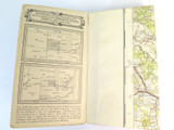
Mounted on linen and in good condition for age
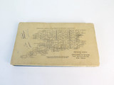
Folded up size 19.5 x 11cm
Entire map size 73 x 86cm
Reviews

Reviews (0)

Be the first to review this product.
Additional Info

Additional Info

Gift wrapping:
Options available
Shipping:
$10 (Fixed Shipping Cost)

Related Products